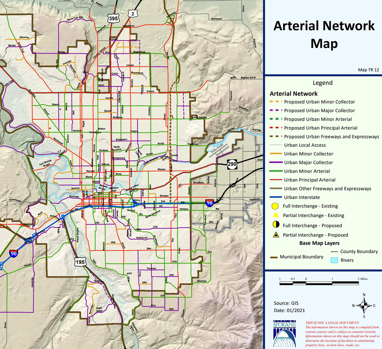
Map TR-12 Comprehensive Plan Amendment

This proposal was adopted by City Council on November 21, 2022.
Application Number: Z22-098COMP
Proposed Amendments: Various amendments to Map TR-12, Arterial Network Map and the text of Chapter 4, Transportation
Location: City Rights-of-Way
Neighborhoods: Various (See Maps)
Applicant
City of Spokane – Primary contact: Ms. Inga Note, Integrated Capital Management
Description
A proposed amendment to the text of Chapter 4, Transportation, and Map TR-12, Arterial Network Map. This project is a City-sponsored application for a 2020/2021 Comprehensive Plan Land Use Amendment.
Related Documents
- Signed Ordinance (PDF 9.3 MB)
- Findings and Conclusions (PDF 190 KB)
- Threshold Application (PDF 264 KB)
- Detailed Maps (PDF 4.4 MB)
- Request for Comments (PDF 4.9 MB)
- Request for Public Comments (PDF 115 KB)
- Staff Report (PDF 5.5 MB)
- Determination of Non-Significance (DNS) (PDF 200 KB)
- Hearing/SEPA Notice (PDF 4.6 MB)
- Additional Public Comments (PDF 1.6 MB)
Contact Information
City of Spokane
Department of Planning Services
808 W. Spokane Falls Blvd.
Spokane, WA 99201
509.625.6500
KayCee Downey, AICP
Assistant Planner II
509.625.6194
kdowney@spokanecity.org
Kevin Freibott
Assistant Planner II
509.625.6184
kfreibott@spokanecity.org
Tirrell Black
Principal Planner
509.625.6185
tblack@spokanecity.org
